


TAMPA, Fla.--The USF College of Marine Science is teaming up with the Florida Institute of technology to map the entire Florida coast.
- Florida coastal mapping to become updated
- Project to identify habitats on the west Florida shelf
- Project funded by BP Oil
Turns out today’s maps are incomplete or non-existent.
Researchers are also counting fish and finding their spawning areas.
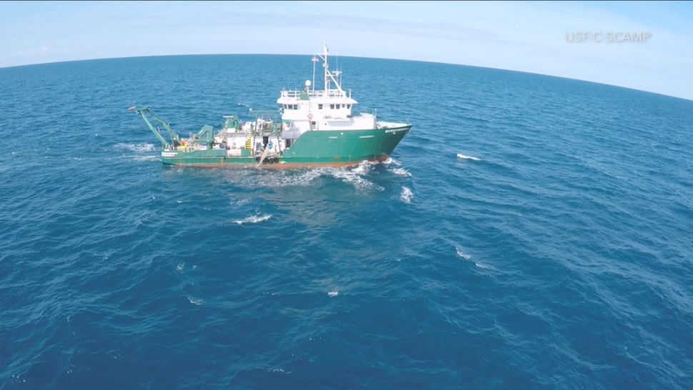
USF drone video shows the weatherbird II research vessels in the Gulf of Mexico.
Now, here’s what’s happening beneath that ship.
Researchers are gathering HD video of the sea bottom to count the number of red snapper in the gulf.
The C-SCAMP project is also developing high resolution multibeam maps to identify essential habitats on the west Florida shelf.
“It’s really important not only for just finding out what’s there but also for the management of our natural resources. So, we’re trying to close this huge gap in terms of our understanding of what’s on the seafloor and how valuable it is.”
The weatherbird II is also part of another project called “The Florida Coastal Mapping Program”.
The goal is to capture high resolution maps of the entire Florida Coast.
The Florida Institute of Oceanography is leading the F-C-Map initiative.
Turns out less than 20-percent of Florida’s coastal waters have been properly mapped.
"We’re really pushing to have the entire state mapped at these new modern day standards. So, that we’re not using charts and data from decades or hundreds of years ago.”
It’s expected to take ten years and cost 100-million dollars to map the entire state to the new standard.
The USF professor says they’re using artificial to help them count the fish and species in the videos.
That C-SCAMP project is funded by BP oil spill money and is expected to wrap up next year.