


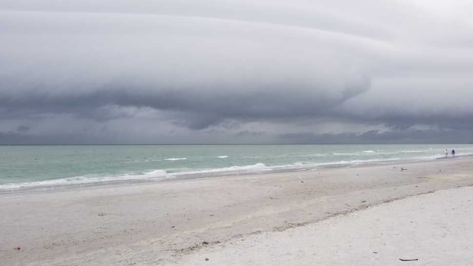
ST. PETERSBURG, Fla. — Skies will be mostly cloudy with some passing showers overnight into early Tuesday morning. Lows will be in the upper 60s to low 70s.
It will be breezy at times, especially when showers pass. With a breeze from the south, it will continue to be somewhat humid.
- Showers and storms
- Drier, less humid Wednesday
- Warm weekend ahead
- SEE BELOW: See our 7-day forecast ▼
The front will move through our area during the day Tuesday. That will result in a push of moisture coming in from the Gulf of Mexico with another round of showers and storms. There will likely be some heavy downpours in some areas.
The clouds and rain will help to keep our temperatures down a bit, mainly in the upper 70s to low 80s.
Most of the rain will exit by Tuesday evening, but there could be a few smaller showers still lingering until early Wednesday morning.
- WEATHER ON THE GO: Download the Spectrum Bay News 9 app and get Klystron 9 alerts wherever you are.
- GET WEATHER ALERTS: Sign up to receive weather text alerts from Spectrum Bay News 9
- Klystron 9 | 7-Day forecast | Tampa Bay-area temperatures | Travel weather
Lows will be in the 60s Wednesday morning, with drier air moving in and skies going from partly cloudy to mostly sunny with slightly lower humidity. Highs will still be near 80, but the lower humidity will make for a more comfortable feel.
Thursday and Friday will be nice with mostly sunny skies, but temperatures will heat back up with a lot of mid to upper 80s.
This weekend will be similar to last weekend, with humidity and temperatures increasing again. Highs will be in the mid to upper 80s with some spots inland around 90.
7-day forecast

We want your pictures!
Show us what the weather looks like in your neighborhood. Your photo could end up on Spectrum Bay News 9.
- Get the Spectrum Bay News 9 app for iOS or Android
- Tap "Submit Content" at the bottom of the app menu
- Remember to include your name and location