


ST. PETERSBURG, Fla. — Temperatures will continue to drop through the evening as dew points continue to lower. Skies will be mostly clear.
- Temperatures dropping through the evening
- Monday's highs only will reach into upper 60s
- SEE BELOW: See our 7-day forecast ▼
With lower dew points, overnight will be cooler. Lows will get to near 50 degrees for Tampa Bay to around 40 for the Nature Coast.
With high pressure settling in, winds will be lighter on Monday, but highs will only be in the upper 60s. Some high clouds will move through during the day.
Tuesday morning will be cool again with lows near 50 for Tampa Bay to near 40 for the Nature Coast. Tuesday afternoon will be warmer but still below normal, with highs getting back into the low 70s.
- WEATHER ON THE GO: Download the Spectrum Bay News 9 app and get Klystron 9 alerts wherever you are
- GET WEATHER ALERTS: Sign up to receive weather text alerts from Spectrum Bay News 9
- Klystron 9 | 7-Day forecast | Tampa Bay-area temperatures | Travel weather
Wednesday will be warmer with highs in the mid to upper 70s. A weak front is likely to arrive later in the day. Winds will become northwest by late in the day. There will not be much cooling behind this system, but the dew points are expected to drop again.
Thanksgiving Day will be partly cloudy with temperatures just a little above normal with low humidity. There will be a breeze out of the northeast to north.
Friday’s temperatures will be near normal. Winds will be light, so a sea breeze is expected. Humidity will stay low.
The next cold front will arrive sometime next Sunday. Some rain is possible.
7-day forecast

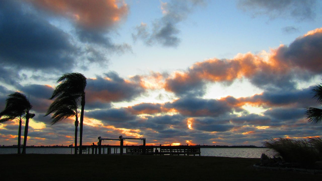
We want your pictures!
Show us what the weather looks like in your neighborhood. Your photo could end up on Spectrum Bay News 9.
- Get the Spectrum Bay News 9 app for iOS or Android
- Tap "Submit Content" at the bottom of the app menu
- Remember to include your name and location