


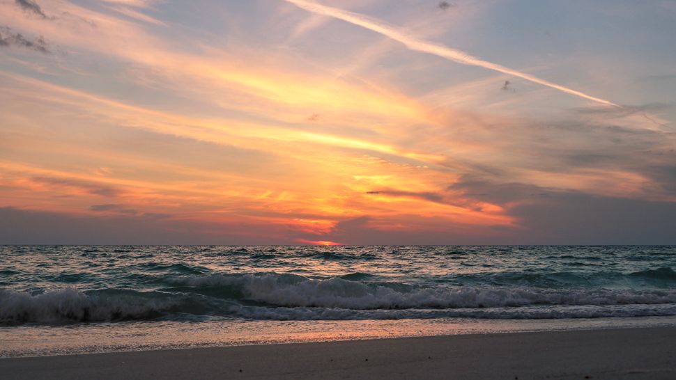
ST. PETERSBURG, Fla. -- The current wind pattern is one where the east wind blowing across the state from the Atlantic is more dominant.
- Drier air from east
- Late week moisture
- Summer heat settling in
- SEE BELOW: See our 7-day forecast ▼
That means the storms push westward into the gulf at night and then things quiet down. There could be an isolated storm still in the gulf early in the morning.
Otherwise, expect partly cloudy to mostly clear skies into early Tuesday morning with lows in the low to mid 70s.
Tuesday will start with mostly sunny skies going partly cloudy by the afternoon. Drier air in the mid levels of the atmosphere will limit the number of storms in the region.
Expect about a 30 percent coverage by the end of the day. Highs will be in the low to mid 90s. Although the storms will be limited, keep in mind that any that form will be very heavy with frequent lightning.
They will end in the evening with skies clearing overnight. Lows will be in the mid 70s.
- Klystron 9 | 7-Day forecast | Tampa Bay-area temperatures | Travel weather
- WEATHER ON THE GO: Download the Spectrum Bay News 9 app and get Klystron 9 alerts wherever you are.
- GET WEATHER ALERTS: Sign up to receive weather text alerts from Spectrum Bay News 9
Wednesday will still feature a lot of dry air above us, which will limit the coverage of storms that day to only 20 percent. Expect it to feel hot and humid with highs in the low to mid 90s.
Thursday will be the beginning of moisture slowly increasing in our atmosphere. However, it will take some time to get the higher coverage of storms in our area.
The coverage will be at about 30 percent Thursday with most of them shifting inland east of I-75 by that evening. Friday will be similar with the best coverage shifting inland east of I-75.
The rain chance will bump up to 40 percent Saturday and then up to 50 percent Sunday as the wind pattern finally relaxes allowing a better coverage of thunderstorms on our side of the state. Also moisture will be more abundant at that time, not acting like a limiting factor.
View: Bay News 9 Interactive Radar
- LIVE interactive Klystron 9 map
- Custom Safety Net storm alerts
- LIVE interactive Real Time traffic
- Upload pictures to Bay News 9 from the app
The 7-day forecast
