


FLORIDA — The weather has had its ups and downs this winter.
Some days have been above normal, other days below. This has been true for much of the Central and Eastern United States, but, the other shoe is about to drop.
The overall weather pattern across the Northern Hemisphere is going to go through a bit of a shift beginning next week. The ultimate result looks to be colder than average weather for the next couple of weeks.
What to expect
We have had some cool weather as of late, but the dip in the jet stream that has allowed the cool down didn’t really tap into the bitterly cold air which has been pooling near Hudson Bay in Canada, crossing the North Pole into Northeast Europe and Northern Asia.
Things are about to change.
We are seeing evidence of a ridge of high pressure that will build over the Northern Pacific Ocean next week. This will allow a large trough to carve out over the eastern 2/3 of the United States.
Because of the expanse of the ridge, things will generally not move much, so the pattern will essentially be locked in place.
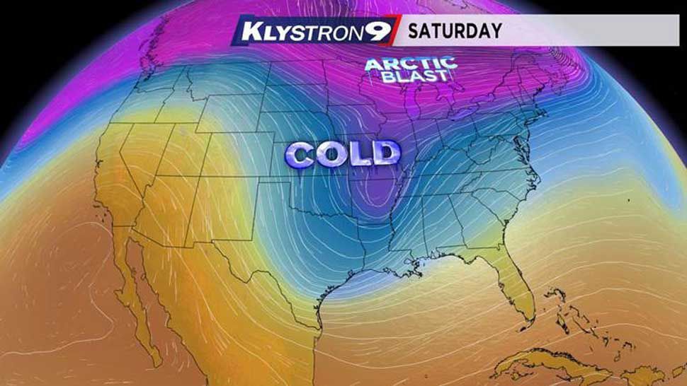
In the short term, a vigorous storm system will develop over the plains later this week into the weekend, allowing a last bit of warmer air to be drawn northward into the Southeast. Above average temperatures will be here Saturday.
The storm system will move east northeastward and a cold front will move through the Southeast and Florida on Sunday morning.
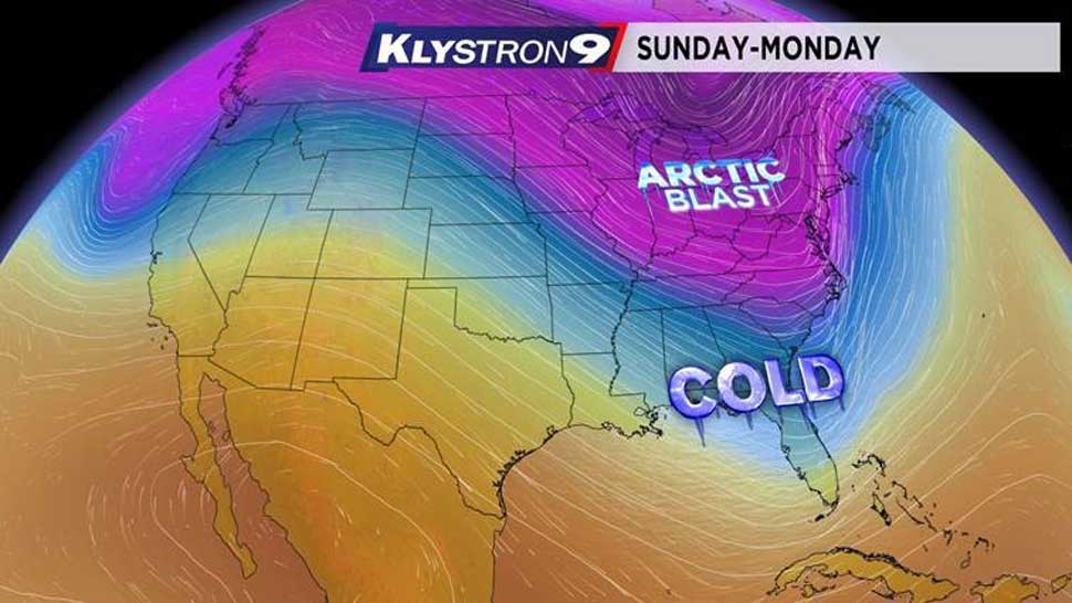
We will have some rain and storms ahead of the front early Sunday, but the cold air aloft will settle in behind it, bringing us a rather sharp cold snap for Sunday afternoon through Monday.
Temperatures may be 20 degrees below normal for a day and a half.
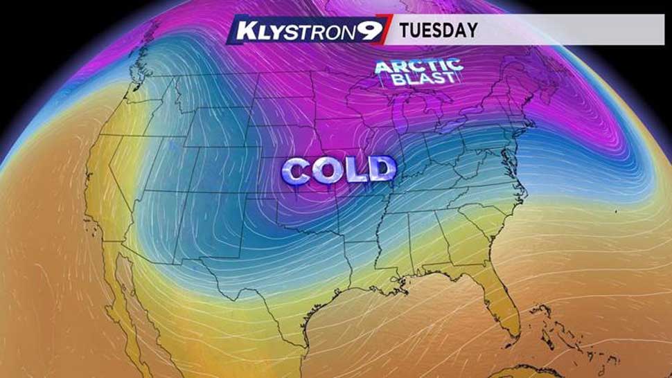
This storm system will literally open the door for the cold air over Canada to march southward into the U.S. by the middle of next week.
It will make its way southwestward into the Southern Plains by midweek. When that happens, we will briefly warm here in Florida by Tuesday into Wednesday back to near normal.
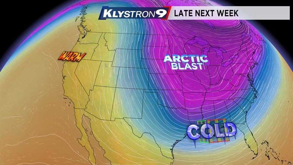
As another storm system develops within this dip in the jet stream, the warm ridge over the Pacific and extreme Western U.S. builds, allowing for a much broader trough, or dip in the jet stream, across the Eastern 2/3 of the U.S. to move in.
This type of pattern favors much colder than normal weather in these areas, along with an active storm track coming from the Western Gulf of Mexico and then moving into the Great Lakes, Northeast, or Mid-Atlantic States.
As each system develops, only slightly milder weather gets drawn into Florida. Otherwise, as each system passes, the cold air gets pulled back in.
Some long range indications are that this general pattern should take us well into February and possibly beyond that. With that said, there will be some days that have a chance to warm somewhat, but this pattern favors much colder weather for a while.
After all, it is still winter.