


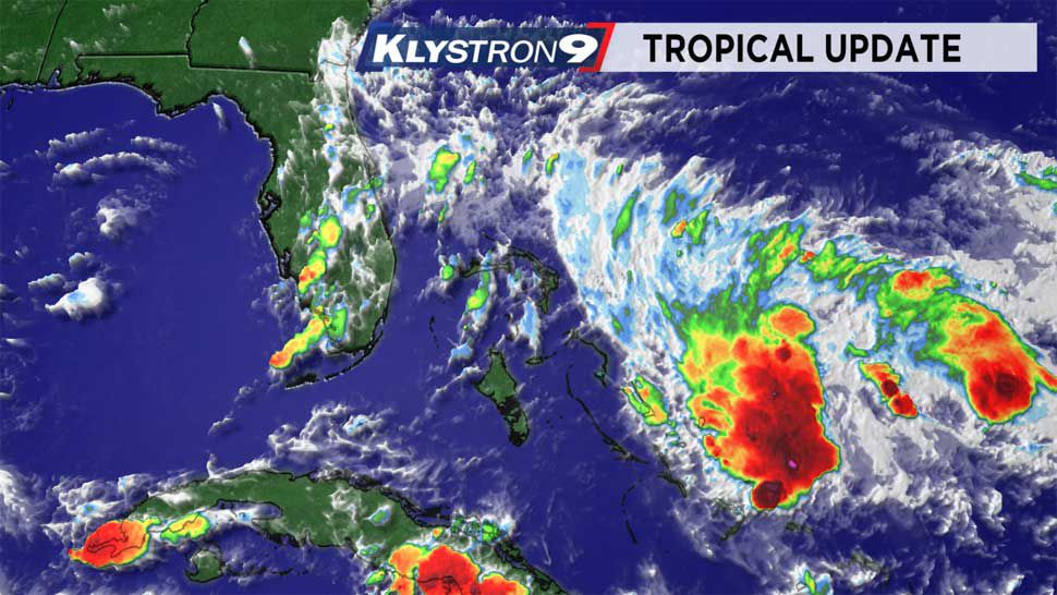
ST. PETERSBURG, Fla. — We do not have a tropical storm yet, or even a depression — the current track illustrates how a depression will likely form Friday and then likely to develop into ‘Humberto’ at some point the next couple of days.
LOCATION...23.8N 74.5W
ABOUT 320 MI... SE OF FREEPORT GRAND BAHAMA ISLAND
ABOUT 240 MI... SE OF GREAT ABACO ISLAND
MAXIMUM SUSTAINED WINDS...30 MPH
PRESENT MOVEMENT...NW OR 310 DEGREES AT 2 MPH
MINIMUM CENTRAL PRESSURE...1009 MB...29.80 INCHES
SUMMARY OF WATCHES AND WARNINGS IN EFFECT:
A Tropical Storm Warning is in effect for...
* Northwestern Bahamas excluding Andros Island
A Tropical Storm Watch is in effect for...
* Jupiter Inlet to Volusia-Brevard County line Florida
Don’t be surprised to see this track fluctuate since small, weak tropical lows act erratically in their beginning stages. There is not even a fix on the center of the system yet, so the models have a wide range of solutions at this point.
If this current forecast path comes to fruition, the weather around Tampa Bay would be drier on Sunday and Monday. The heaviest rain would stay along the east coast of Florida.
A Tropical Storm Watch has been issued for parts of the east coast of Florida.
It this system tracks west over South Florida, it may not be a tropical storm at all. It would be a wetter pattern for Tampa Bay, but a weaker system.
