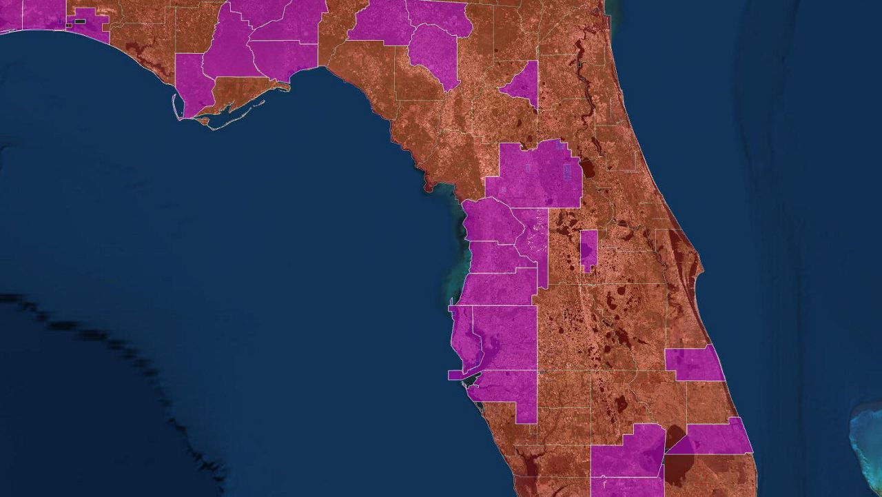
MANATEE COUNTY, Fla. — Flood zones across the Bay Area are changing and FEMA was on hand in Manatee County this week to explain what this means for residents.
- Flood zones changing in Manatee County
- Residents may be affected financially
- Find Your Flood Zone
The new FEMA preliminary flood insurance rate maps (FIRM) and elevation requirements will impact insurance rates for many Manatee County homeowners.
The maps are being re-drawn for the first time in more than 30 years. Over time, flood risks change due to weather events, environmental changes, erosion, land use, and other factors.
FEMA recently released updated, digital flood hazard maps that show the extent to which areas throughout the county are at risk for flooding.
The new preliminary FIRM is based on updated coastal modeling and Gamble Creek watershed in Parrish. The new map shows flood hazards more accurately than older maps.
FIRMs indicate whether properties are in areas of high, moderate or low flood risk. Many property owners may find that their risk is higher or lower than they thought. If the risk level for your property goes up, so may your requirement to carry flood insurance.
Flood zones are also changing in Hillsborough County.
FEMA also launched a new app that will show how your home will be impacted in a severe storm causing a flood event.
For more information on changes in Manatee County, click here.


