


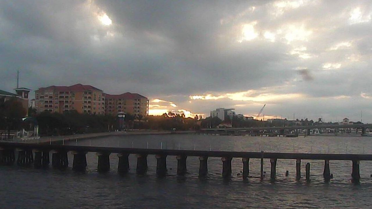
ST. PETERSBURG, Fla. — Dew points have been moving up since the early afternoon. That is why it feels warmer.
- Clouds remain; mild and breezy
- Humidity returns tomorrow
- Next cold front on Friday
- SEE BELOW: See our 7-day forecast ▼
- CALCULATE: How hot can your vehicle get? ▼
The shallow cool air is eroding away. So, you can expect that it will be warmer overnight.
Low temperatures will be in the low 60s north to upper 60s around Tampa Bay. Skies will still be mostly cloudy.
On Monday, highs will get back into the 80s, with more humidity. But it will not get as humid as last week since winds will be easterly. Small rain chances will return in the afternoon on the east winds. This pattern will continue for the work week. Temperatures will run above normal, in the low 80s. There will be low rain chances each day as moisture stays overhead. Winds will be easterly to northeasterly through Thursday, so the humidity will not get as high as last week.
- WEATHER ON THE GO: Download the Spectrum Bay News 9 app and get Klystron 9 alerts wherever you are
- GET WEATHER ALERTS: Sign up to receive weather text alerts from Spectrum Bay News 9
- Klystron 9 | 7-Day forecast | Tampa Bay-area temperatures | Travel weather
Another front approaches on Friday. Showers and possible storms will spread across the area ahead of the front. This will happen sometime on Friday to Friday night. It will be humid ahead of the cold front. Winds will increase out of the northwest behind the front.
The front will move south of the area next Saturday. It will be windy and much cooler and drier. The cooler air and low humidity will last through next Sunday.
7-day forecast

We want your pictures!
Show us what the weather looks like in your neighborhood. Your photo could end up on Spectrum Bay News 9.
- Get the Spectrum Bay News 9 app for iOS or Android
- Tap "Submit Content" at the bottom of the app menu
- Remember to include your name and location