


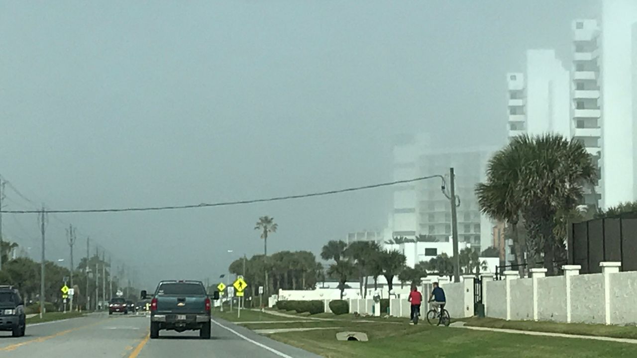
ST. PETERSBURG, Fla. — With the front moving in, the showers will exit and drier air will come in for Saturday morning.
- Overnight lows in the 50s for most
- SEE BELOW: See our 7-day forecast ▼
Lows will be cooler in the 50s from Tampa Bay south and upper 40s in Citrus and Hernando County northward.
Saturday will be a comfortable day with highs in the mid-70s under a mix of sun and clouds.
Sunday will feature more cloud cover moving back in with highs in the upper 70s. There will be some rain showers in the Gulf that will try to move ashore late Sunday into Sunday night.
- WEATHER ON THE GO: Download the Spectrum Bay News 9 app and get Klystron 9 alerts wherever you are
- GET WEATHER ALERTS: Sign up to receive weather text alerts from Spectrum Bay News 9
- Klystron 9 | 7-Day forecast | Tampa Bay-area temperatures | Travel weather
Monday will be partly cloudy with a few scattered showers in the area. Highs will be near 80.
Tuesday and Wednesday will be the warmest days next week with highs in the 70s at the beach, but low to mid-80s inland.
The next cold front is on the way Thursday that will bring in the next cool air mass.
7-day forecast

We want your pictures!
Show us what the weather looks like in your neighborhood. Your photo could end up on Spectrum Bay News 9.
- Get the Spectrum Bay News 9 app for iOS or Android
- Tap "Submit Content" at the bottom of the app menu
- Remember to include your name and location