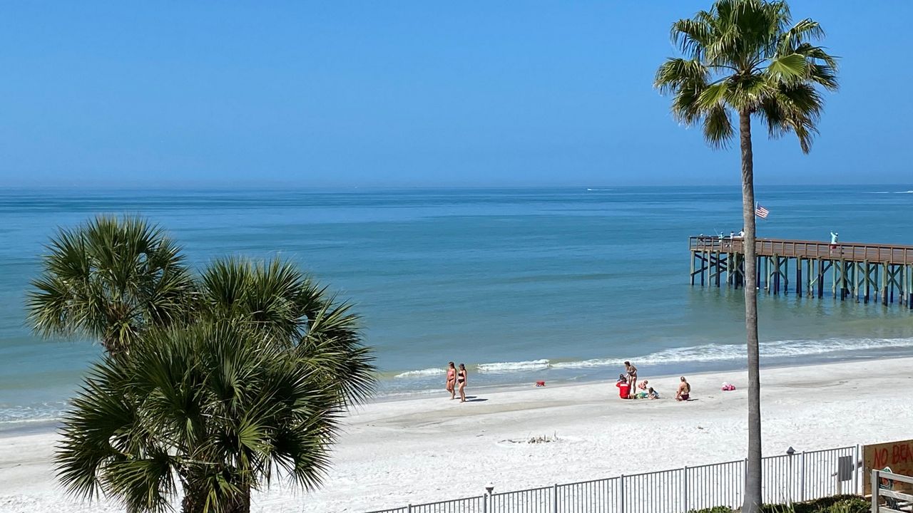
ST. PETERSBURG, Fla. — This evening will be on the warm side with mostly clear skies. The sea breeze made decent progress through the coastal counties to do a little cooling.
- Mostly clear overnight; patchy fog in the morning
- Cold front has stalled at Florida-Georgia border
- SEE BELOW: See our 7-day forecast ▼
Overnight will be mostly clear with some patchy fog in the morning. Lows will be above normal in the mid 60s for Tampa to low 60s north, about the same as Sunday morning.
A cold front has stalled out along the Florida-Georgia border. So our weather does not appear to change.
Monday will have light winds and partly cloudy skies. South, then southwest, winds will cool the coast early. So Tampa may end up with high temperatures in the low 80s. It will be warmer farther inland.
- WEATHER ON THE GO: Download the Spectrum Bay News 9 app and get Klystron 9 alerts wherever you are
- GET WEATHER ALERTS: Sign up to receive weather text alerts from Spectrum Bay News 9
- Klystron 9 | 7-Day forecast | Tampa Bay-area temperatures | Travel weather
By Tuesday, that front will remain just to the north, so southwest wind will increase a little, and there will be a few clouds. The rain will stay north. Skies will be partly cloudy. That southwest wind will cool down the coast early, and the sea breeze will move well inland. The rain chance will be very low. But winds will prevail out of the southwest, making it a little more humid.
The southwest winds will continue through Wednesday. It will be a bit breezy. Morning lows will be slightly higher, and there will be a better chance of low clouds in the morning or some fog. A stray afternoon shower will be possible north. The sea breeze will move quickly inland, so coastal counties will have lower temperatures in the afternoon.
A weak front will possibly move through Thursday, but it will do little. So it will stay warm with highs in the upper 80s inland to near 80 near the coast.
A stronger ridge of high pressure will build in overhead by the end of the week. Temperatures will be in the mid 80s near the coast to 90s inland into Saturday.
7-day forecast


