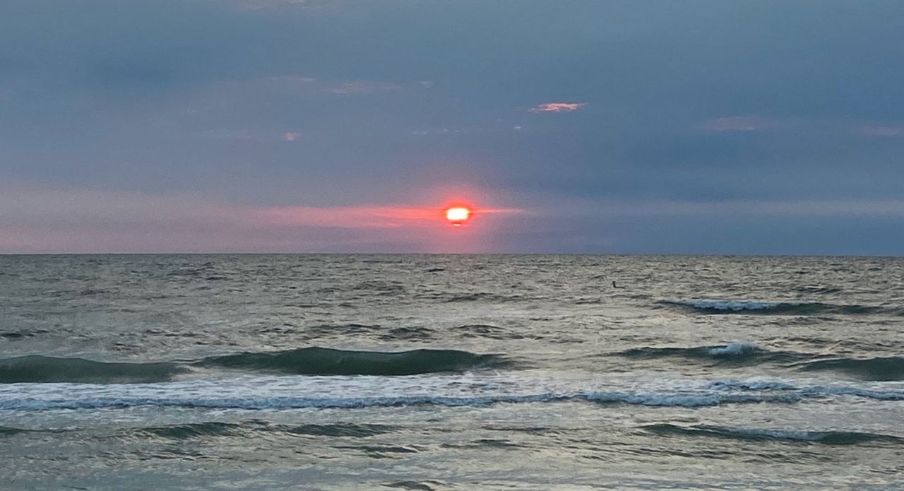
ST. PETERSBURG, Fla. — With a more active pattern across out state, Sunday will be changing again. Humidity will increase as gusty southeast, then south winds kick in.
- More active pattern
- Getting warmer, more humid quickly
- More rain chances, breezy
- SEE BELOW: See our 7-day forecast ▼
This evening will very comfortable. Humidity will be low and winds will be light. Skies will be partly cloudy.
Overnight, winds may be picking up already. High clouds will move in. With both of those factors, it will be warmer. It will also get more humid by morning.
Skies will be partly sunny and it will quickly warm up. With the south winds, the immediate coastal areas will top out in the upper 80s, but inland areas will get into the 90s. There will be a slim chance of fast-moving showers mainly north.
- WEATHER ON THE GO: Download the Spectrum Bay News 9 app and get Klystron 9 alerts wherever you are
- GET WEATHER ALERTS: Sign up to receive weather text alerts from Spectrum Bay News 9
- Klystron 9 | 7-Day forecast | Tampa Bay-area temperatures | Travel weather
Monday will be partly sunny. Moisture will move in overhead.
It will continue to be windy as a cold front approaches from the northwest. It will be even more humid.
There will be a chance of a few showers north of Tampa Bay. High temperatures will be in the mid 80s closer to the coast to 90s inland. It will be windy.
The cold front will likely move a little closer Tuesday. This will bring a higher chance of rain.
High temperatures will be still be well into the 90s inland ahead of that front. Southwest gusty winds will keep the coast in the mid 80s.
This front will likely finally move in on Wednesday. Rain chances will be higher. It will be windy. Inland areas will be in the mid 90s again, but it may be the last day for a little while.
The front will meander back north north into next weekend. With this front nearby, there will be continued rain chances all the into next weekend.
7-day forecast


