


ST. PETERSBURG, Fla. — Cristobal is now a tropical depression. Maximum sustained winds have decreased to near 35 mph with higher gusts.
What You Need To Know
- Cristobal now a tropical depression
- Another day of rip currents, high surf on Gulf Coast
- BELOW: Storm Surge Watch details for Nature Coast
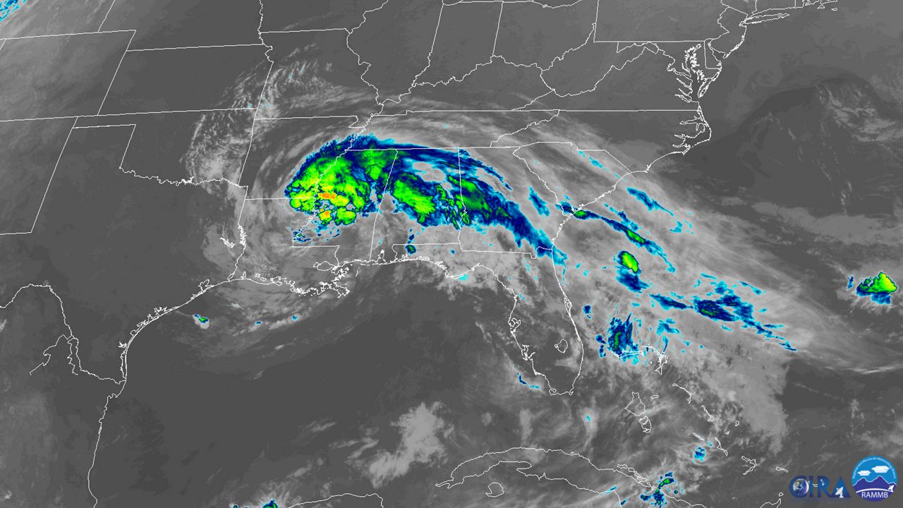
Although the center of Cristobal has moved inland, there remains a danger of life-threatening storm surge along parts of the northern Gulf coast today.
The center of Cristobal should move through southwestern Mississippi and northeastern Louisiana today, through Arkansas and eastern Missouri tonight and Tuesday, and reach Wisconsin and the western Great Lakes by Wednesday.
Heavy rains associated with the system will spread over portions of the central United States over the next couple of days.
This will lead to a threat of flash flooding and river flooding.
Also, isolated tornadoes are possible today and tonight across parts of the Southeast.
Here in our area, we will see one more day of rip currents and high surf on our Gulf Coast.

SUMMARY OF 500 AM INFORMATION
----------------------------------------------
LOCATION...31.0N 91.2W
ABOUT 40 MILES N OF BATON ROUGE LOUISIANA
MAXIMUM SUSTAINED WINDS...35 MPH
PRESENT MOVEMENT...NNW AT 10 MPH
MINIMUM CENTRAL PRESSURE...994 MB...29.36 INCHES
WATCHES AND WARNINGS
--------------------
CHANGES WITH THIS ADVISORY:
All Tropical Storm Warnings are discontinued.
SUMMARY OF WATCHES AND WARNINGS IN EFFECT:
A Storm Surge Warning is in effect for...
* Mouth of the Mississippi River to Ocean Springs Mississippi
* Lake Borgne
