


Even though we have had almost daily storms since early in June, we really have not had our typical summer pattern. Well, now we do.
What makes our summer pattern?
It's all about wind direction, wind speed, the amount of moisture in the atmosphere, and the sea breeze. Typically, our summer pattern can be locked in place for many days or even weeks at a time. Yet, the daily weather may differ somewhat simply due to subtle differences in the winds and moisture.
Wind Direction
A normal pattern during the summer months is for there to be an area of high pressure somewhere in the Atlantic Ocean. This is usually at a latitude north of Florida.
Since the air flows around high pressure in a clockwise fashion, that high to our north generates an easterly component to the wind. The exact position of the high will determine our wind direction. It could be east, northeast, southeast or somewhere in between.
With the tropical moisture in place during the summer months, an east wind generates morning showers in the Atlantic Ocean and on the East Coast. Those move across the state during the day from east to west as new showers and storms develop in a scattered fashion over land during the heating of the day. As the ground heats up, the air rises quickly leading to shower and thunderstorm development.
The exact wind direction can also play a role in how far inland a sea breeze front can move. For example, a due east wind will keep a sea breeze closer to the coast then a wind from the southeast. The southerly component to the wind would not oppose the west wind behind the sea breeze front as much. So, the sea breeze with a southeast wind could push inland a little farther than a prevailing east wind.
Wind Speed
The wind speed is very important to our summer pattern as it one of the main variables in determining the strength of the sea breeze and how far inland the sea breeze front can move. A lighter wind will allow the sea breeze front to push inland farther than a stronger wind.
In fact, sometimes the wind is too strong for the sea breeze front to even make it inland at all.
Moisture Content
Typically during the summer, there is a lot of deep tropical moisture in place over Florida. This allows, as we heat up during the day, things to be very unstable and the result becomes showers and thunderstorms. But, subtle differences in the amount of moisture will play a role in how many showers can form, and how heavy the rain will fall.
Obviously, on days with some slightly drier air, it takes a little more heating of the day to get things going. And sometimes, we see far fewer daytime storms and they may wait until the evening to first develop. Whereas on days with lots of moisture, the storms can start early and several rounds of showers or storms may move through.
Sea Breeze
Most people think of a sea breeze as a nice cooling breeze that comes off a large body of water. That is true but it is more important than just that.
First, it is important to know how it forms. When the sun shines and it is getting hot, the ground heats up much faster than the water does. This differential heating leads to a pressure difference. The quickly warmed air over land causes the pressure over land to be lower than that over the Gulf of Mexico, for example. So, since wind flows from high pressure to low pressure, a sea breeze develops.
The wind, in the case of the Gulf of Mexico, comes in from the west. Eariler, in discussing the normal summer pattern's east wind flow, the sea breeze wind opposes the prevailing wind flow. So, when the east wind runs into the sea breeze front, (the leading edge of the west wind) the air rises even more rapidly.
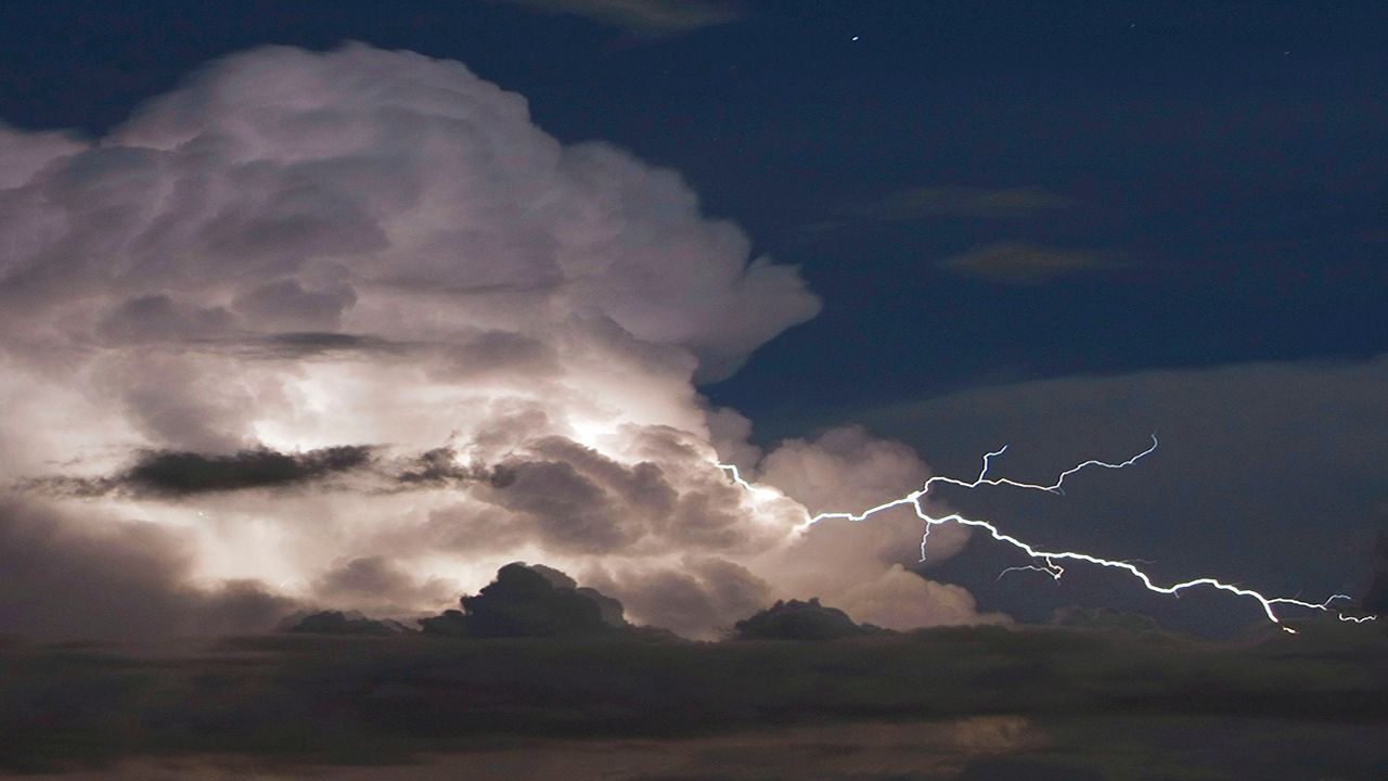
Even in days where the ingredients are not fully there, simply the convergence in wind along the sea breeze front can be enough to force the air upward (convection) and big thunderstorms can form. Often, with a strong sea breeze and a decently strong prevailing east wind flow, the storms right along the sea breeze don't show much movement and that is why there can be incredible rain totals along the sea breeze front.
Other Factors
There are, of course, other factors in our normal summer Pattern and how that helps to produce our thunderstorms.
Outflow boundaries form from each individual thunderstorm. Those boundaries can help to fuel new storms and they can also cause a rush of cooler air to move outward faster which leads to the air stabilizing. That can sometimes lead to a collapsing of storms around the area as the lowest part of the atmosphere cools.
We also have a frequency of tropical waves and other upper atmospheric weather features that can act to enhance or even inhibit our daily storm development.
So, yes, it is easy to say..."it will be hot and humid with scattered thunderstorms", but on a daily basis we are looking at all of these variables to determine the finer details of our typical summer daily storm pattern.