


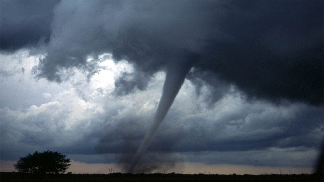
Severe weather hasn’t been very active in the U.S. in late 2020 and early 2021. That good luck could be coming to an end in mid-March as a severe weather event is forecast for Wednesday and Wednesday Night in the so-called “Dixie Alley” tornado zone.
Meteorologists have focused on this area for several days. It appears the ingredients are indeed coming together for a risk of severe storms, but tornadoes are of the most concern. Also, part of this severe event will be at night.
Tornadoes are more dangerous at night, so we hope people in the impacted areas have multiple ways to get weather alerts from live TV, their phones and apps, and NOAA Weather Radio.
These are the severe weather outlooks from the Storm Prediction Center. The map shows the highest chances of tornado activity. When the right ingredients come together about two to six hours before storms, a tornado watch will be issued.
Local weather offices will issue tornado warnings for parts of individual counties when a tornado has been spotted or indicated on radar.
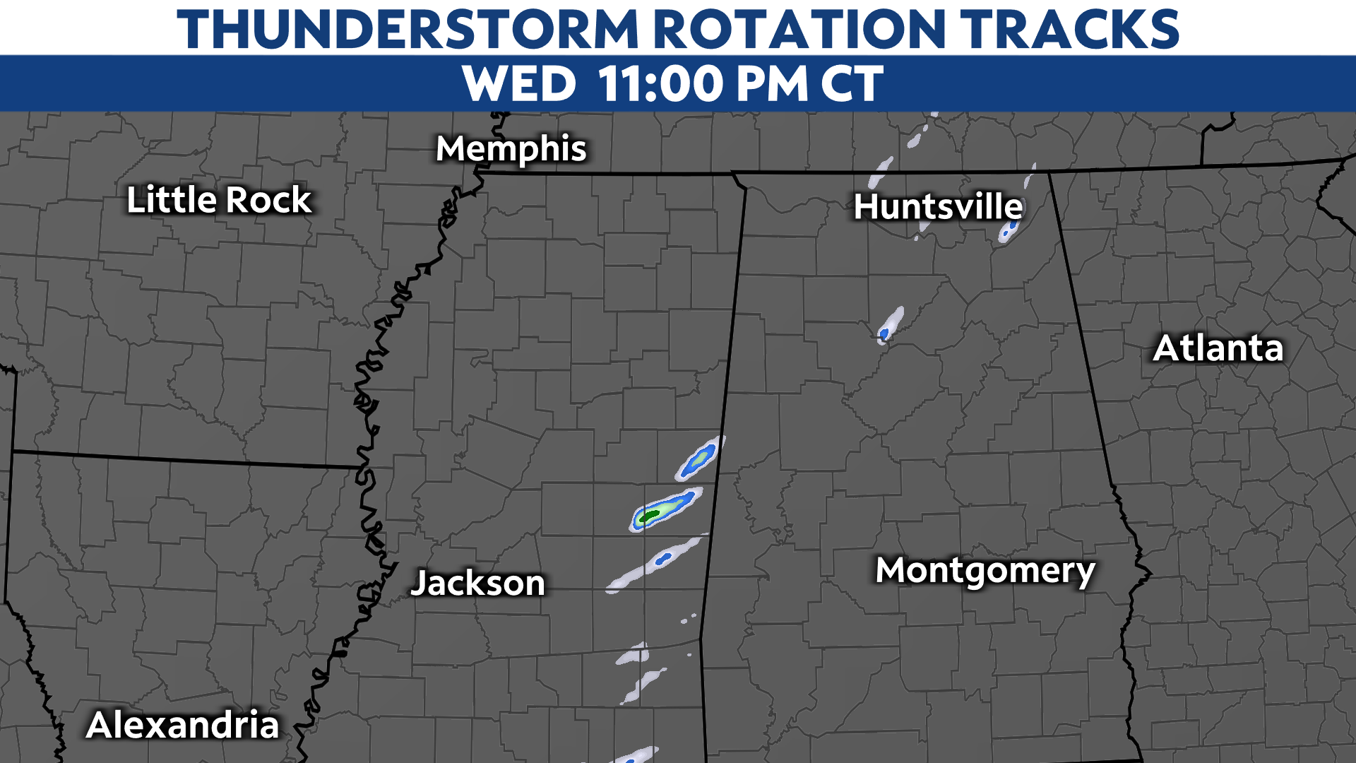
We use a variety of models to determine the risk of severe weather and tornadoes. The following maps show where rotating thunderstorms, which can produce tornadoes, might happen.
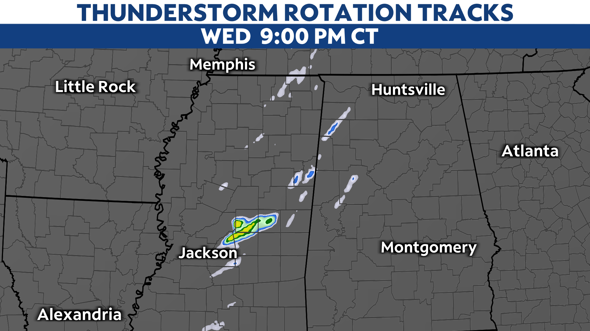
These maps show those storms as they move out of Mississippi into Alabama at night. These aren’t the tornado locations but show favorable areas for storms to rotate. The more rotating storms the model is showing, the higher the likelihood for tornadoes.
If you have friends or relatives in those parts of the country, you might want to send them a quick text to make sure they are keeping up with the local weather conditions from a reliable source.
The worst of the severe weather should stay north of Florida, although the Panhandle and First Coast could experience a few strong to severe storms. The Carolinas and Georgia will have a risk of severe storms and possible tornadoes on Thursday as the system exits into the Atlantic.
A trailing front will bring some cooler weather to Florida for Friday and Saturday.